

|

|
Slide 16 of 24


|

|
Slide 16 of 24
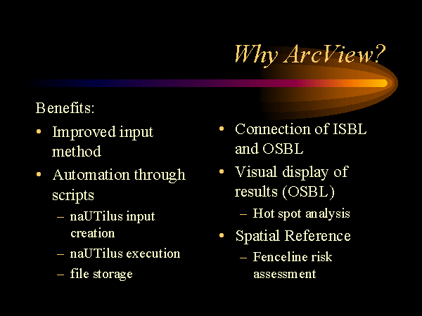
Several benefits are derived from combining naUTilus with ArcView. Use of naUTilus becomes more user friendly due to the visual interface and through the automation of many processes required for creation of the naUTilus input file. ISBL units can be easily connected to an OSBL unit. Visual results allow immediate "hot spot" identification.
Many of these features are made possible by the spatial reference introduced by GIS. In addition to these benefits, GIS introduces the possibility for future use of naUTilus in fenceline risk assessment.
Fenceline risk assessment involves knowing the concentration of contaminants at the fenceline of an industrial property. With a true geographic reference, results from naUTilus could be used in conjunction with a dispersion model to estimate the contribution of industrial sewers to fenceline concentrations.