Slide 14 of 19
Notes:
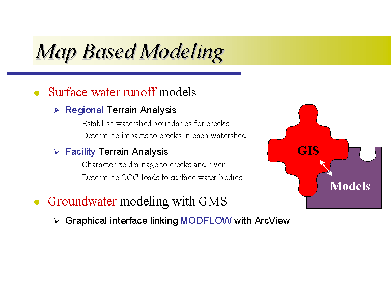
The visualization of the digital facility description is a powerful tool, but it also has applicability in other spatial risk assessment methods, such as map based modeling, in which we are trying to characterize the fate and transport of chemicals in the environment. The first type of modeling I have been working on is for surface water runoff. You start with a grid, where each cell in the grid has an associated elevation. You then use this grid, or digital elevation model, to determine the water flow based on the paths of steepest descent. You can use these programs to delineate streams and watersheds, and these programs are internal to the ArcView system. I have been developing two models, one for regional runoff and the other for facility runoff.
I have also been working on a groundwater model using the Groundwater Modeling System (GMS) software developed at BYU. This program uses a graphical interface to link ArcView with MODFLOW, which is a 3-D grid finite element model developed by the USGS.


