Slide 9 of 19
Notes:
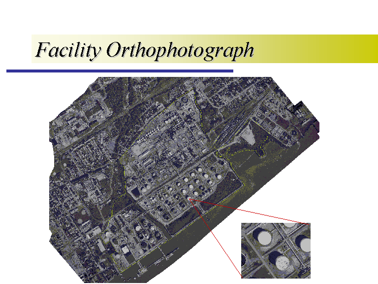
For the facility scale coverage creation, an aerial survey company was contracted to fly the site. They produced orthophotographs, digitized features from the photos, and also provided a digital terrain model with elevations. Here you see the black & white orthophoto. Ortho simply means perpendicular. The image has been rectified so that you are looking directly above each point in the photograph. There is a 1 foot pixel resolution for the photography, and I blew up a little portion of the photo so you can see the accuracy.


