Slide 6 of 19
Notes:
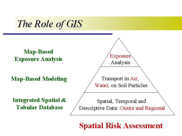
This is the spatial risk assessment hierarchy. Each step builds on the other and the GIS application is integral to each component of the pyramid.
My research has focussed primarily on the integration of the tabular and spatial databases, which is referred to as the digital facility description. However, I have also been doing some map-based modeling.


