Slide 25 of 31
Notes:
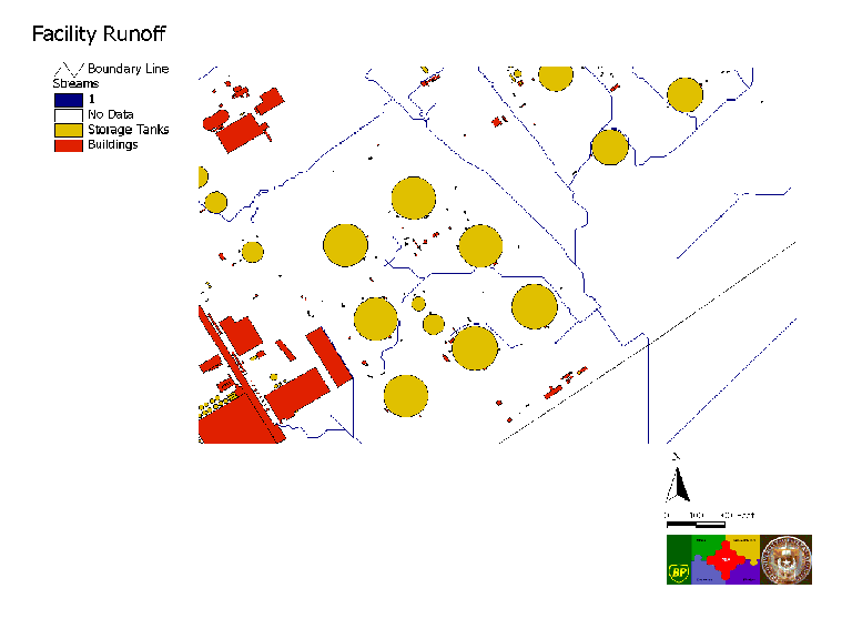
Facility Runoff: Facility runoff model results showing delineated streams. Starting with a digital terrain model, a digital elevation model grid of the facility was constructed. Maps of the process sewer system were used to locate drains that remove water from the land surface. Calucations were performed to determine flow direction on the land surface, flow accumulation, and streams. The map includes the locations of facility tanks and buildings.


