Slide 24 of 31
Notes:
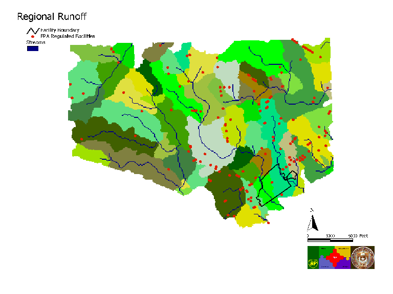
Regional Runoff: Regional runoff model results including delineated streams and watersheds. Starting with a digital elevation model, calculations were performed to determine flow direction on the land surface, flow accumulation, streams, stream segments, and watersheds. The map includes the facility location and the locations of other regulated facilities from EPA’s Envirofacts database.


