

|

|
Slide 10 of 24


|

|
Slide 10 of 24
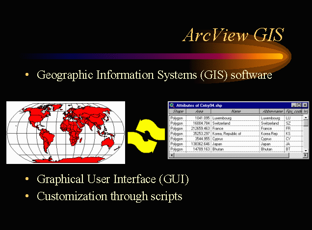
Arcview is a Geographic Information Systems (GIS) software program. Simply, GIS allows the user to work with maps and tables, accessing tables from a map or the map from the table. ArcView is a windows type program, with a graphical user interface (GUI) allowing the user to access all functions with a mouse and icons or menus. Custom functions can also be created in ArcView. This is done by creating Avenue scripts, programs written in the Avenue programming language specific to ArcView. These scripts perform several functions and can be through buttons (icons).
Through the creation of a series of scripts, ArcView was customized for use with naUTilus.