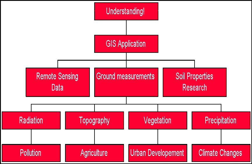
Application
Because of the complexity of modeling soil
moisture variation, many variables must be accounted for in order to even
get a glimpse of what is actually going on. Using GIS, all these influences
can be gathered into an interactive package available to scientists and
programmers alike.
The ultimate goal, of course, is to understand the mechanisms behind soil moisture variability so that we can intelligently monitor human effects on it. GIS can also help us easily compare ground-based measurements to those from remote sources or modeling programs. Especially with the creation of a model-Arc interface, more people can have access to the kinds of information that can help them make conscientious decisions about issues affecting our environment.
| Back to: | Civil Engineering Home Page |
| Geological Sciences Home Page | |
| Johanna's Home Page |
If you have comments or suggestions, email me at jdev@mail.utexas.edu