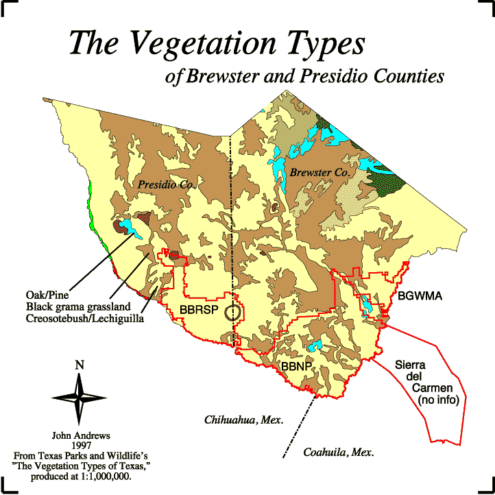
The map above, depicting the vegetation types of Brewster and Presidio counties, was produced from Texas Parks and Wildlife's "The Vegetation Types of Texas" 1:1,000,000-scale GIS dataset. A few steps were taken to create this map:
First, I downloaded the county boundary files for Brewster and Presidio counties from TNRIS.
I then created a 'clip' file by merging the two county boundary files into a single coverage and deleting their shared border.
I also downloaded The Vegetation Types of Texas coverage.
Finally, I clipped the vegetation file with the clip file to produce the dataset represented here.
As mentioned on the preceding page, this GIS coverage is actually of little use to me. I addition to the reasons previously stated, you can see from the image above that there is no vegetation data for the Sierra del Carmen region in Mexico. This data is of some use, however, in that it gives a very broad overview of the vegetation types and their distribution across most of my study area. Regardless, the Thematic Mapper imagery will prove to be much more useful for my thesis.